

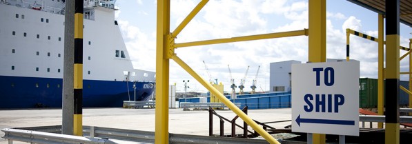
Directions to the terminal
OVERVIEW
No matter where you’re coming from and by what mode of transport, there are many main transport links that will bring you to the Port’s International Passenger Terminal.
Road
If you are travelling to the Port by road, follow signs northbound on the A19. For sat nav, the postcode is NE29 6EE. For directions and to view the International Passenger Terminal on a map, please visit the Find Us section of the website. For parking information, please click here.
Metro
You can take the Metro to Northumberland Park, Percy Main or North Shields – the Port is just a 20 minute walk from Percy Main or a bus ride away from all stations. Take the Go North East no. 19 bus connection to the Royal Quays Shopping Centre – only a few minutes’ walk from the passenger terminal. You can view the no. 19 bus timetable and route map here.
Rail
The nearest mainline train station is Newcastle Central Station. From there, the terminal is a 30 minute taxi ride costing approximately £15 or you can take the Metro from Central Metro Station to any of the above Metro stations (see Metro) and then take a bus or taxi.
Air
The nearest airport is Newcastle International Airport. It is around 14 miles from the Port – 35 minutes by car/taxi or you can use Newcastle Airport Metro Station within the airport to get to the above Metro stations (see Metro).
DFDS shuttle bus
This service is available whether you are a DFDS passenger or not and runs from Bewick Street opposite Newcastle Central Station to the International Passenger Terminal. There are two departures for each sailing - one at 2.45pm and the second at 3.45pm - 1 hour and 15 minutes before the ferry departs. The journey takes around 30 minutes, costs £6.60 per person each way and can be booked in advance or paid for when you board.